Customizing Zoom
To choose zoom options for your map visual,
-
Click Settings on the right side of the Visuals menu.
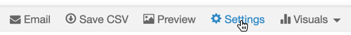
The Settings modal window appears.
- In the Settings modal window, click the Zoom tab.
[Optional] You may choose to turn on or off the following options:
- Enable pan and zoom
- Zoom to active areas
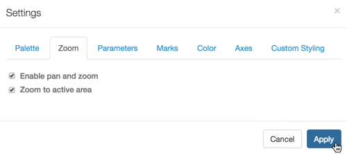
Click Apply.
Click Refresh Visual.
If neither of the options is checked, the graphic is static and shows the entire map, including the over-size continent of Antarctica.
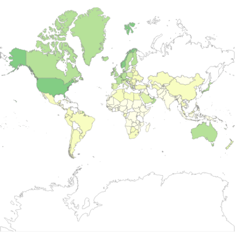
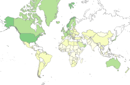
If only Zoom to active areas is checked (this is the default setting), the visual automatically focuses on the parts of the map that have plotted dimensions. In the example of the world map used here, this includes all the continents except Antarctica.
If only Enable pan and zoom is checked, you can manipulate the appearance of the map in the following ways:
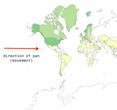
Pan to move the visual, to change the focus to a specific part of the visual.
Click and hold the primary mouse button (usually, the left button) on the map in the visual, and move the graphic to the desired location.
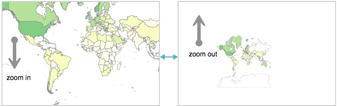
Zoom to change the scale of the visual. You must zoom in to make the visual larger and show more detail, or zoom out to make the visual smaller and show less detail.
Click and hold the secondary mouse button (usually, the right button) on the map in the visual. Moving it down zooms in, while moving it up zooms out.
If both options are checked, you have both behaviors: the automatic focus on the relevant parts of the map, and the ability to pan and zoom.